
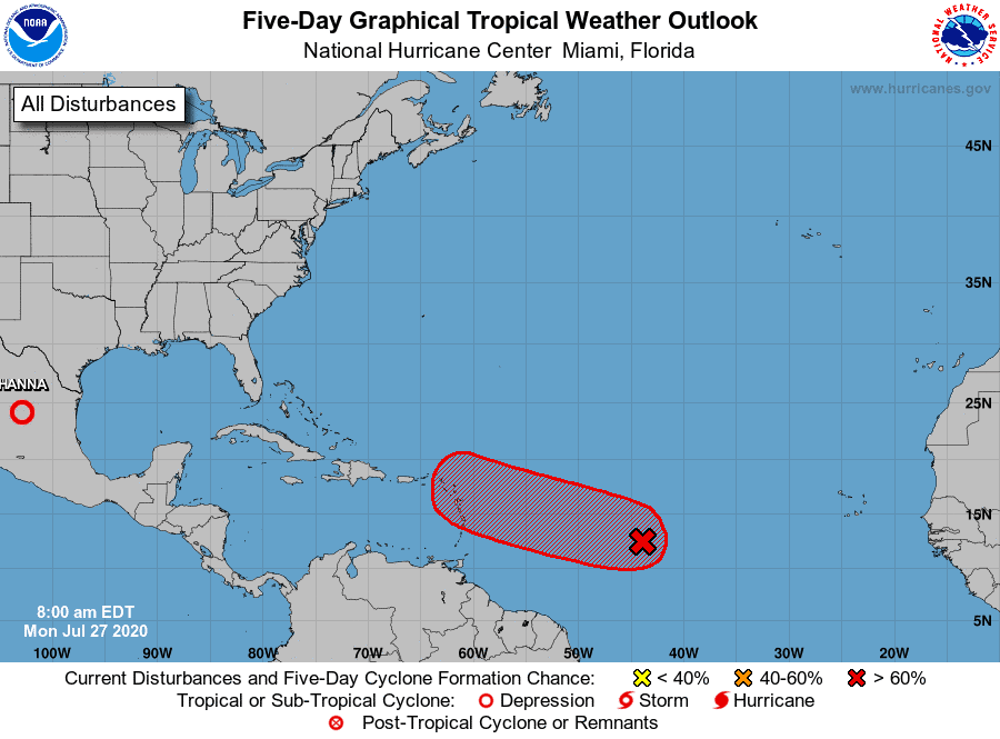
Will I92 see the same fate?
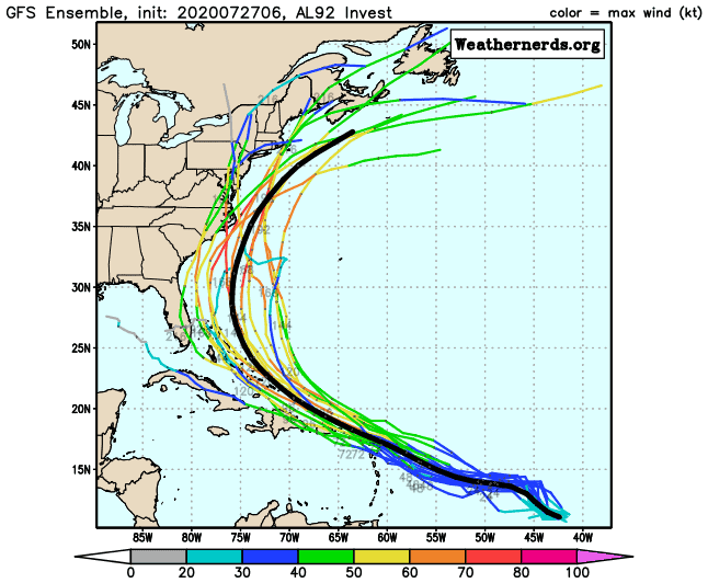
Models are all over the place right now.
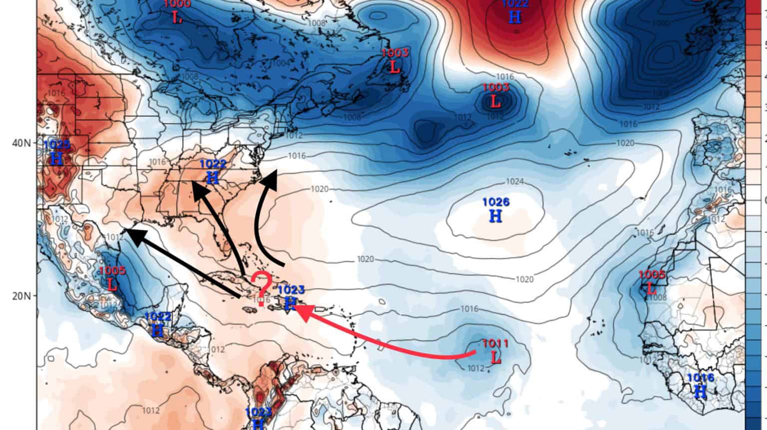
So let’s look at what they seem to all agree on currently: Most models agree on some strengthening prior to the Antilles and a pull WNW in track towards Puerto Rico by Friday/Saturday.
Now from there it’s wide open.
EURO has it dissolve and continue its track west towards the Gulf as energy.
The GFS develops it some, has it pull more NNW, and ultimately swing out to sea hugging the East Coast.
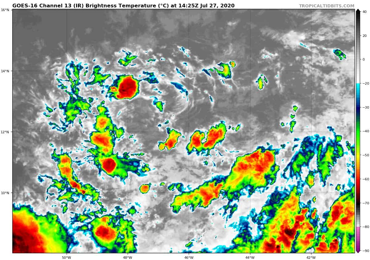
Basically, we need to see how I92 handles the current dry air and shear in the Caribbean and what condition it’s in after this. It’s much larger than Gonzalo, so the tolerance could be there.
Remember..
Stronger systems will pull more north.
Weaker systems pull more south and west.
What will I92 be?
Lots to watch this week.


Chad Trosper is the AVP of Catastrophe Claims at Tower Hill Insurance. He has over 19 years of experience in the claims industry and a true passion for weather. Chad graduated from the University of Florida with a degree in Business and Sociology and also holds a master’s certification in Business Process Management from the University of San Francisco. Chad currently resides in Gainesville, Florida, with his wife and three children.