

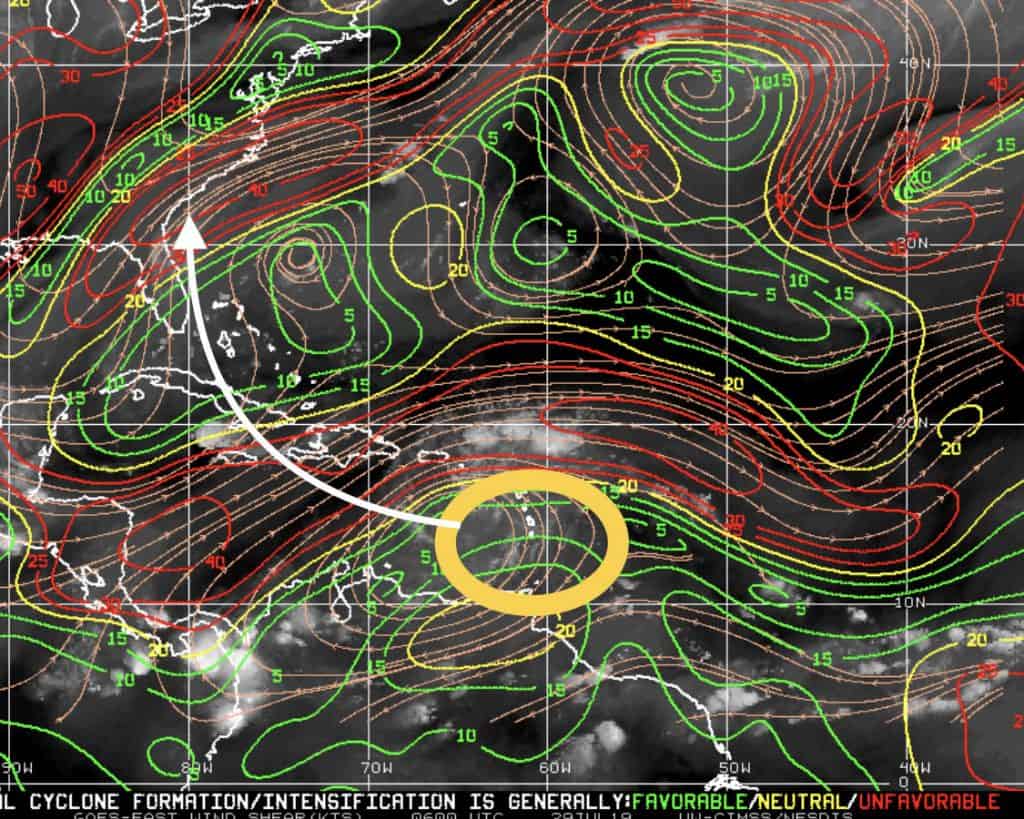
I95 will have some obstacles over the next few days as it pulls more northwest:
- There’s some strong shear north of it.
- There’s a decent amount of SDL (Sahara Dust Layer) lingering over the Dominican Republic.
- It’s crossing the DR’s mountainous terrain.
I imagine we will see limited (if any) development for the next day or two. With that said, “if” it’s still somewhat together after passing these obstacles, there could be a decent patch of real estate near the Bahamas conducive for development.
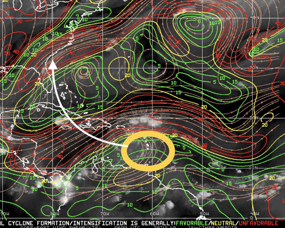
As for the models:
Some models push it NNW, nearing the south coast of Florida late this week and then pushing it off NNE along the east coast into the Atlantic this weekend as rain. Other models have it approaching the south coast of Florida about the same time and then being pushed out WNW over the Gulf as rain. I can see this being a rainmaker for sure, but it could also try to get its wheels if it stays together and conditions improve.
Still a Big ? on this one, so we will be watching.
Oh ya, that second wave I mentioned last week behind it could be our next blob to watch in the coming days. Stay tuned..
Here’s Invest 95 showing possible tracks this week and the current shear speeds (Red High – Green Low):


Chad Trosper is the AVP of Catastrophe Claims at Tower Hill Insurance. He has over 19 years of experience in the claims industry and a true passion for weather. Chad graduated from the University of Florida with a degree in Business and Sociology and also holds a master’s certification in Business Process Management from the University of San Francisco. Chad currently resides in Gainesville, Florida, with his wife and three children.