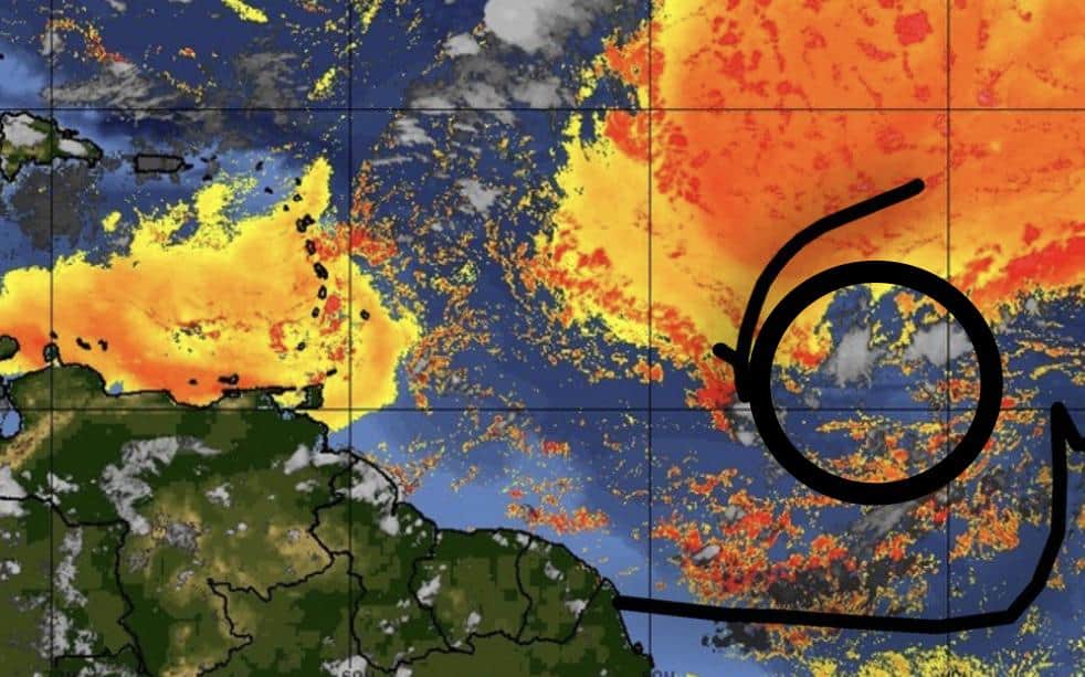
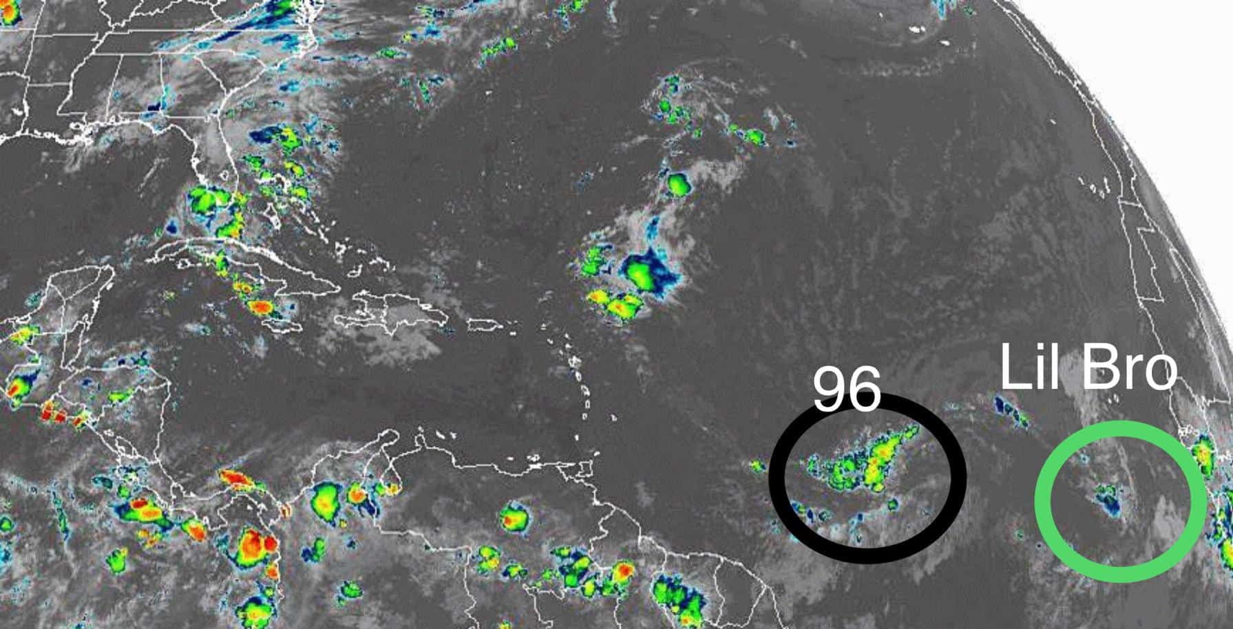
Dry air and SDR (Saharan Dust Layer) took their toll on poor old 96 yesterday and weakened it quite a bit.

Models are now pretty consistent on limited development through the middle of next week as Invest 96 nears the Bahamas and curves NNW by next weekend. There’s a lot of shear ahead of the system as it starts to pull more north in the coming days, so further development should be limited if the shear remains strong.
With that said, we could still see Chantal form if I96 holds it together through next week and hits more favorable conditions as it nears the northeast coast, though the odds of this happening are not strong currently.
Right now, it’s not looking good for 96, but I wouldn’t count her out just yet.
We also have 96’s baby brother following behind her that’s worth a watch. Heck, 96 could be just clearing the way for little bro to come through, though models currently don’t see this happening either.
All in all, the current outlook looks slim for 96 (and her little brother).
Here’s to clear skies and calm seas this time next week.

Chad Trosper is the AVP of Catastrophe Claims at Tower Hill Insurance. He has over 19 years of experience in the claims industry and a true passion for weather. Chad graduated from the University of Florida with a degree in Business and Sociology and also holds a master’s certification in Business Process Management from the University of San Francisco. Chad currently resides in Gainesville, Florida, with his wife and three children.
