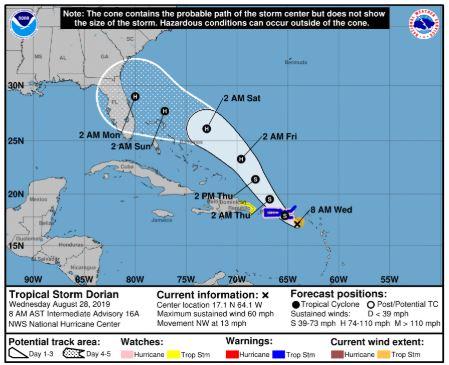
The 8am NHC Update now shows Dorian strengthening and pulling more northward in her track.
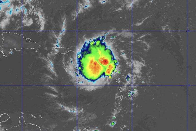
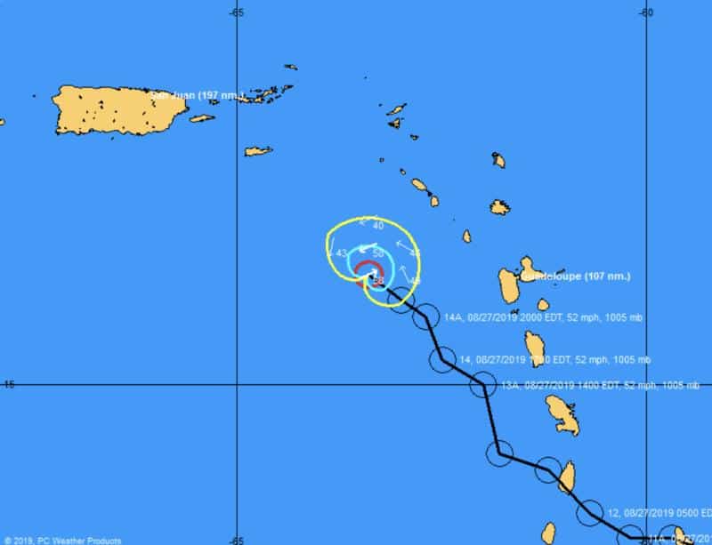
Dorian is playing her hands and has the models stumbling. Currently, Dorian is heading northwest at 13 mph with winds at 60 mph.
It appears her center formed further north in the system, which is causing her to pull more northward than previously expected. Now Dorian is expected to cross over Puerto Rico and miss the Dominican Republic’s big mountains, which could have weakened her.
This is a game changer, since now she will avoid heavy land exposure, stay together, have more exposure to warmer water, and have more time to strengthen.
The NHC forecast now shows Dorian as a hurricane prior to landfall near northeast Florida late Sunday.
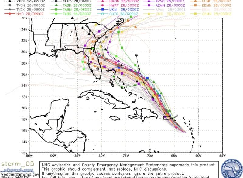
It’s still a ways out there and has a few cards lefts to play.
- Land interaction with a direct hit to Puerto Rico mountains could help weaken Dorian.
- Shear north of system with some dry air could help weaken the storm as well.
- Tropical Storm Erin (yes, we have another one) is assisting Dorian with her pull northward, but a passing high later this week is what’s expected to block Dorian’s northern path to sea and push her back westward toward the States. A weaker high, its timing, and a quicker pull north for Dorian could help shift the path further away from the coastline.
Lots to watch in the next 5 days….