Well, we’ve broken another record for the earliest N and O named storms, and it doesn’t look like things are slowing down anytime soon.
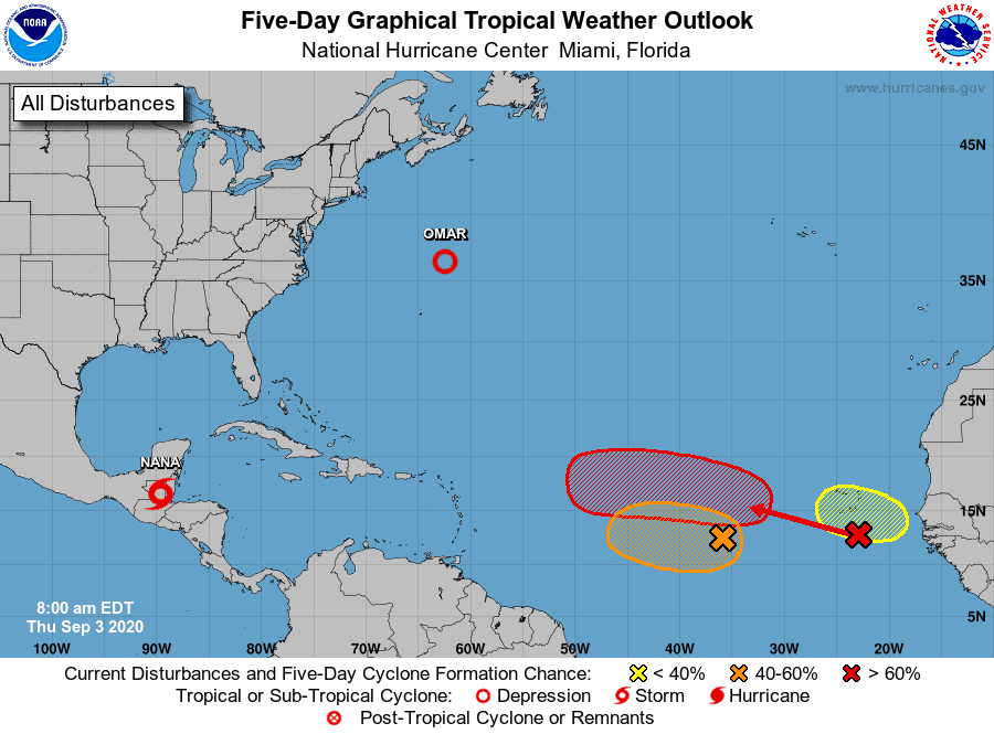
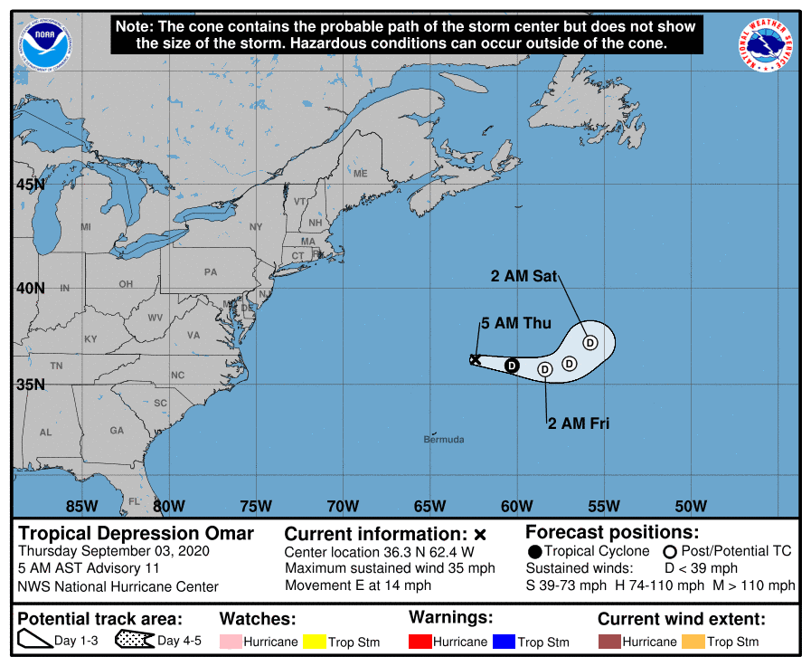
We have both Tropical Storm Nana and Tropical Depression Omar.
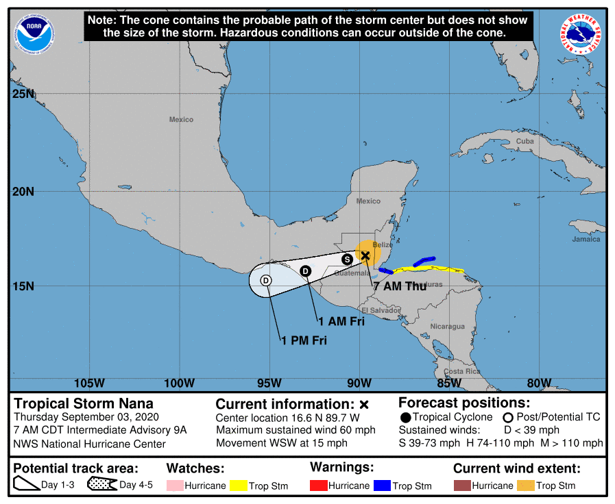
Nana is headed over Central America.
Omar is in the north Atlantic and drifting out to sea.
So what’s next? Well it could be a lot. Remember, the peak of hurricane season is just eight days away (Sept 10th), so it’s expected that we start to see the tropics heat up.
We currently have two areas we’re watching. Both of these waves look to have potential for development over the next 5+ days. Modeling agrees on strengthening and a big push west along the MDR.
So we’ll need to monitor these two very closely.
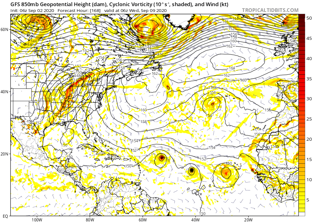
We could also see at least two more strong waves roll off the African coast in the next 5-10 days that we we’ll need to watch.
All in all, it’s about to get busy, and we should all be watching closely.

Chad Trosper is the AVP of Catastrophe Claims at Tower Hill Insurance. He has over 19 years of experience in the claims industry and a true passion for weather. Chad graduated from the University of Florida with a degree in Business and Sociology and also holds a master’s certification in Business Process Management from the University of San Francisco. Chad currently resides in Gainesville, Florida, with his wife and three children.