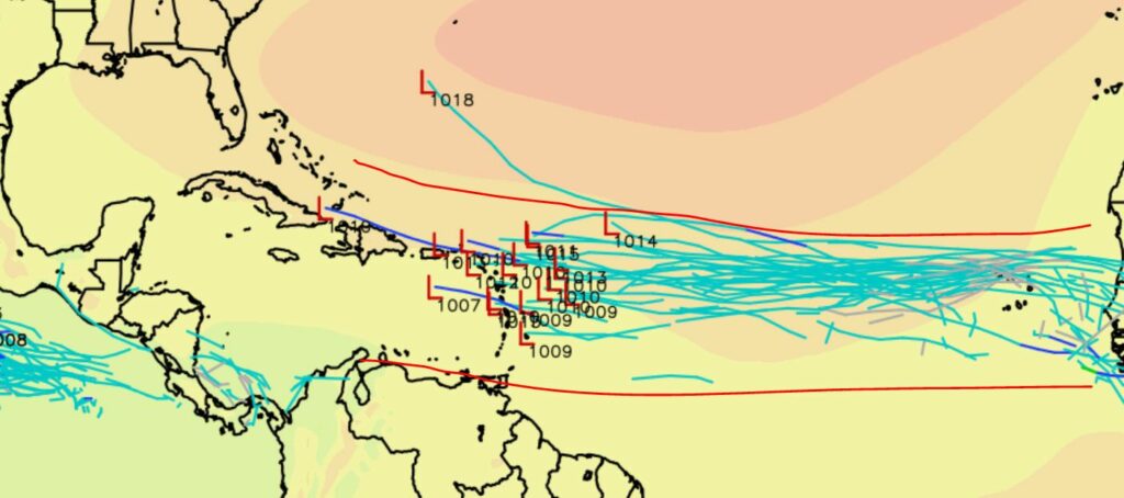
Currently, the NHC shows ZERO potential for tropical development over the next five days.
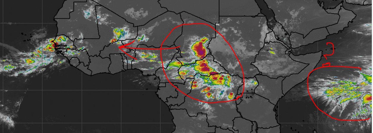
Is this accurate? Well, we never truly know since Mother Nature is a beautiful, yet very sneaky.. sneaky sneaky.. entity. I can say that modeling and ensembles are convulsing over a current group of storms coming across Africa right now. The EURO is most convulsive (down right electrified). So what is this dazzling group of condensation traversing its way across the Sahara? Let’s take a look.
So, the ensembles are supporting potential development from a group of storms over Africa and some on deck. These storms do look strong for sure, but will they be able to sustain until they reach the Atlantic waters? Most modeling says yes for now. Granted, there is still a lot of Saharan Air Layer, but there is also a lot of moisture lingering along the Main Development Region (MDR) that could help stir things up. The MJO forecast also shows moisture pushing in along the MDR over the next week or so.
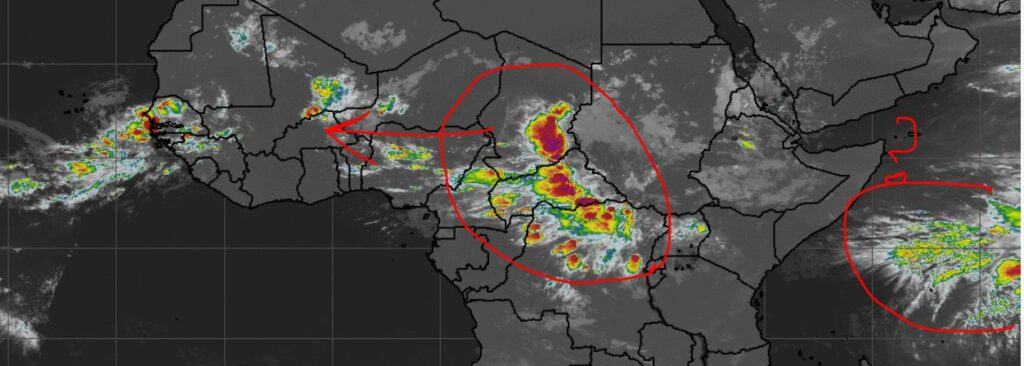
So I imagine your next question is, when? Well, most show these storms rolling off within the next 4-5 day,s give or take, so next week will be interesting for sure. Again, this is a long way out, and even if something does spin up, it would be a tough journey across the MDR right now. But again, Mother Nature can be very sneaky indeed, so all cards are playable in my opinion….
Stay tuned folks.

Chad Trosper is the AVP of Catastrophe Claims at Tower Hill Insurance. He has over 19 years of experience in the claims industry and a true passion for weather. Chad graduated from the University of Florida with a degree in Business and Sociology and also holds a master’s certification in Business Process Management from the University of San Francisco. Chad currently resides in Gainesville, Florida, with his wife and three children.