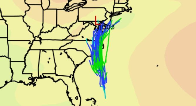
If you live along the east coast from South Carolina to Virginia, your weekend may be a windy and soggy one.
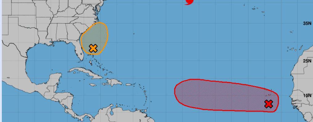
We have our wave just off the coast starting to build more over each day. Right now it has a 40% chance, but we should see this go up by tomorrow. Most models do strengthen this orange blob into a tropical depression or tropical storm by the weekend. Nothing too crazy, but we could see a named tropical storm push into the coast Saturday or Sunday along the South Carolina to Virginia line. The next name would be Ophelia (and what a pretty name right).
We also have our African wave with a 70% chance of developing. Models also like this one and track it west over the next few days. Could see this one reach hurricane status based on long-range modeling. Some like the Global Forecast System hulk it out as a major down the line, but others not as much (CAT1 or CAT2). Regardless, this wave should become a decent system by next week and could push west for a while. Once near the Antilles and depending on how south it tracks along the Main Development Region (MDR) will play a big role in its path. Right now, the majority pull it north once past the Antilles, but we need to watch this one as it could track more south along the MDR allowing it to push further west. For now, we only can wait and watch for the next few days. But imagine we will see another named storm from this one (Philippe?). Stay tuned folks.
Potential Atlantic storms.
Potential storm impact area.

Chad Trosper is the AVP of Catastrophe Claims at Tower Hill Insurance. He has over 19 years of experience in the claims industry and a true passion for weather. Chad graduated from the University of Florida with a degree in Business and Sociology and also holds a master’s certification in Business Process Management from the University of San Francisco. Chad currently resides in Gainesville, Florida, with his wife and three children.